Mounds That Shape Us
Mounds That Shape Us examines the tension that exists between our cities and geological forces that have been active for hundreds of millions of years. This dichotomy between what we build and the earth beneath it is especially evident in San Francisco, a city that was almost completely destroyed by an earthquake in 1906.
The selected images are pulled from a ongoing body of work documenting the various hills or "mounds" — as I like to call them — of San Francisco; oftentimes from a historical context. These mounds provided much of natural materials used in the city’s construction and expansion during the 1800s. Now they provide space for parks, communication towers, water tanks, and the city's most instagrammable views; though the mounds themselves are rarely featured in such photos. Conversely, they are also the last natural habitat for species in the area like the endangered Mission Blue Butterfly.
As climate change becomes a primary concern for my generation, our relationships with the natural forces of this world seem more important now than ever before. We modify the land beneath our cities with installations large and small. Some temporary, some permanent — but they are all fleeting in the geological timescale of the Earth, which has had millions of years to construct these mounds and will modify them for millions more.

37°44'17.4"N 122°26'34.7"W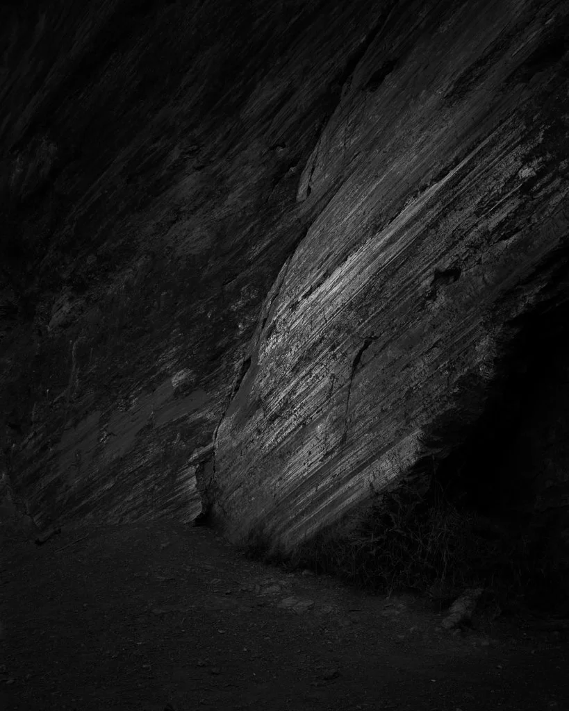
37°45'55.5"N 122°26'14.1"W
37°44'16.1"N 122°26'33.5"W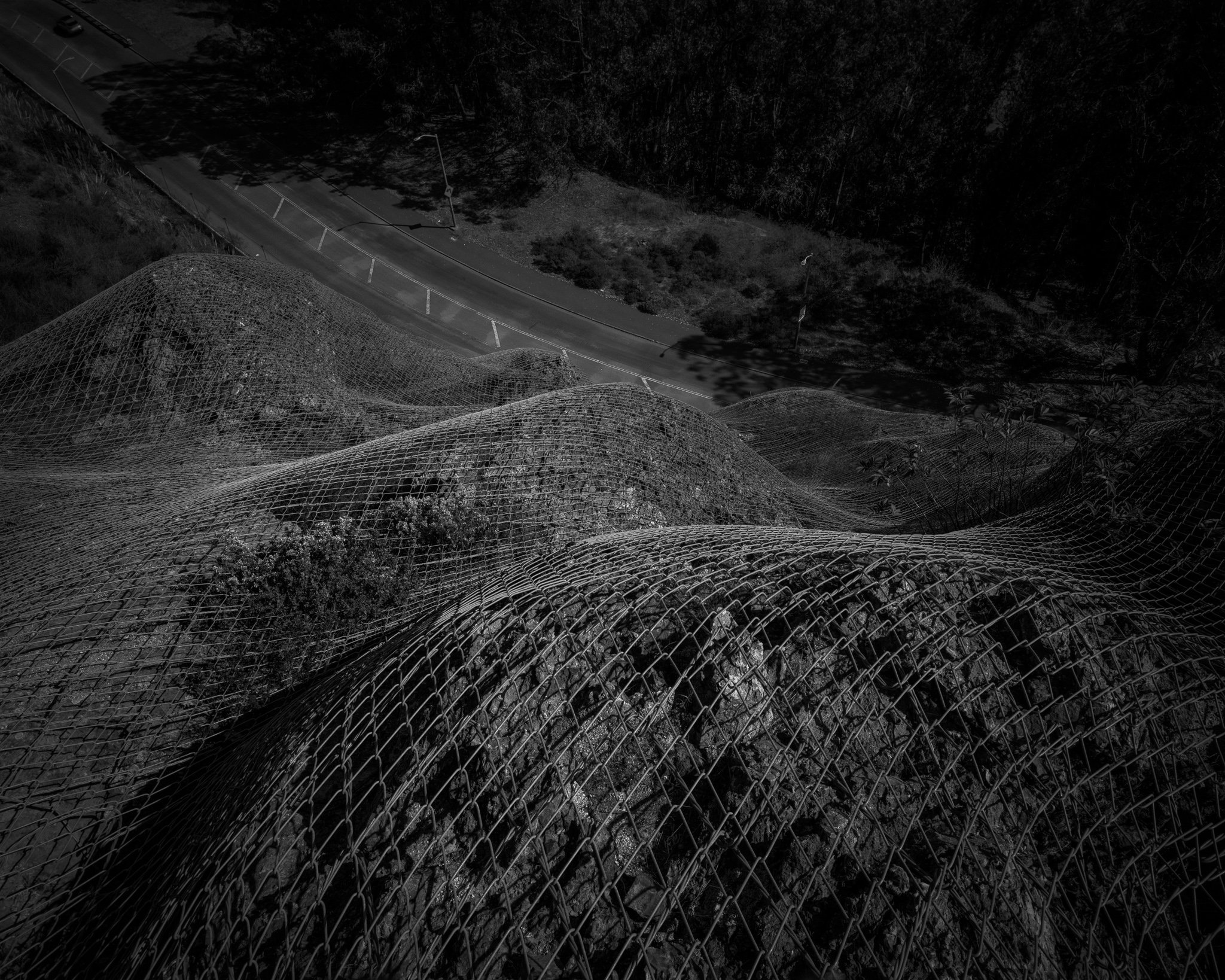
37°44'17.0"N 122°26'34.8"W
37°44'56.7"N 122°28'05.9"W
37°44'53.8"N 122°26'20.0"W
37°45'50.0"N 122°26'17.4"W
37°44'38.6"N 122°24'54.0"W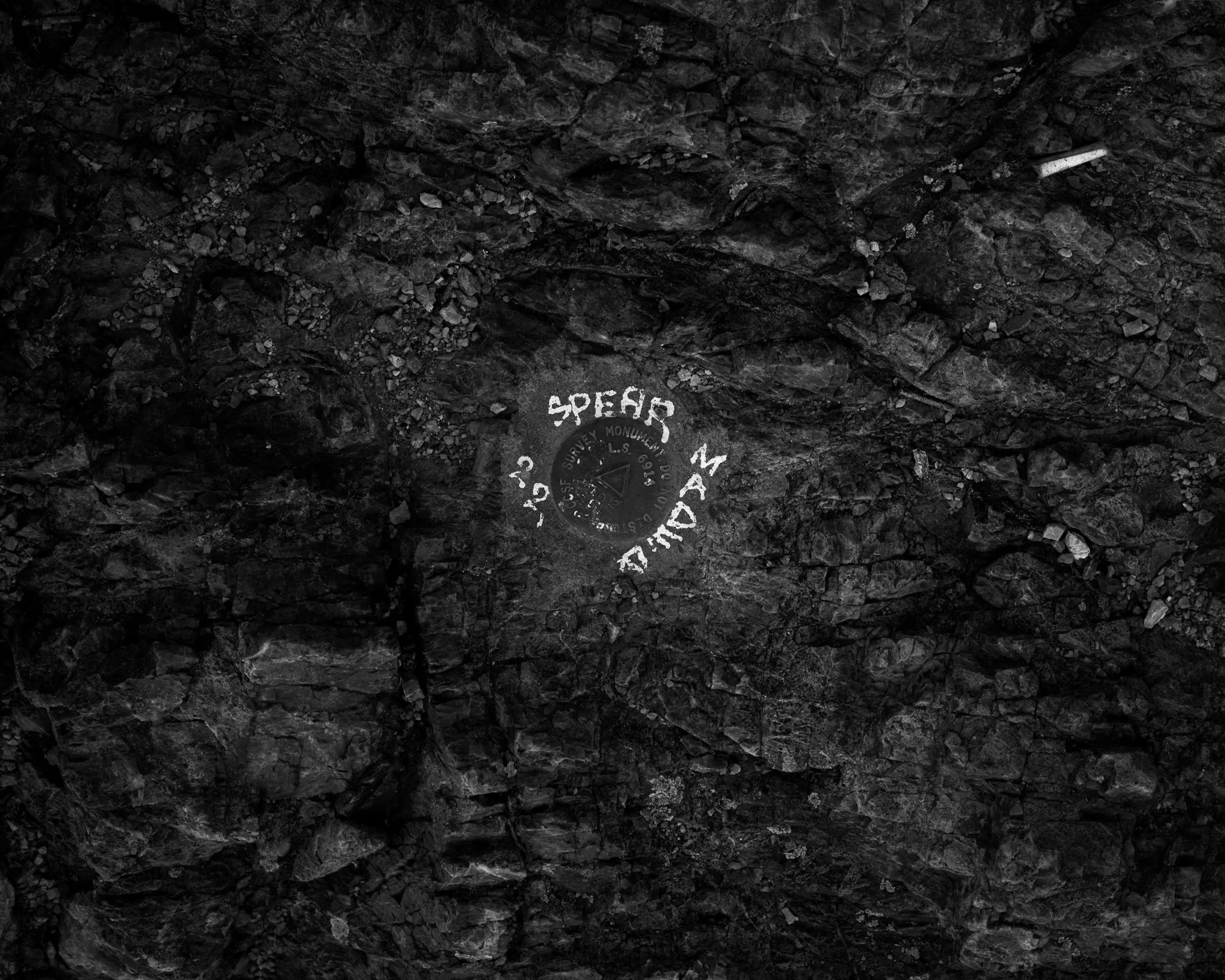
37°44'17.7"N 122°26'35.8"W
37°43'05.7"N 122°27'44.2"W
37°44'56.6"N 122°28'06.4"W
37°45'42.1"N 122°26'45.9"W
37°45'05.8"N 122°26'51.9"W
37°45'54.1"N 122°26'21.6"W
37°45'36.3"N 122°26'51.6"W
37°48'16.7"N 122°24'22.1"W
37°45'42.4"N 122°26'45.1"W
37°39'49.9"N 122°25'05.3"W
37°44'34.2"N 122°25'00.5"W